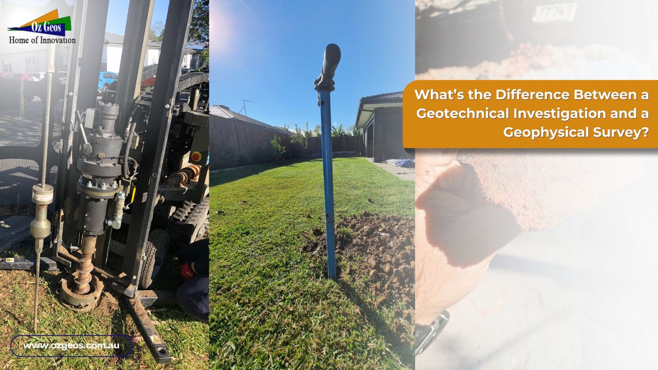
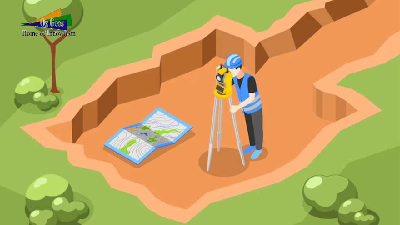
What’s the Difference Between a Geotechnical Investigation and a Geophysical Survey?
Introduction: Before commencing any civil engineering, construction of infrastructure, or environmental evaluation project, it is crucial to have an extensive knowledge of underground conditions. Geotechnical research and geophysical investigations are the two primary methods to collect this information. While they may appear similar, every approach has distinct objectives and employs various methods. Understanding the variations between the two is vital when choosing the best approach to use for your project.
Geotechnical Investigation and Geophysical Survey
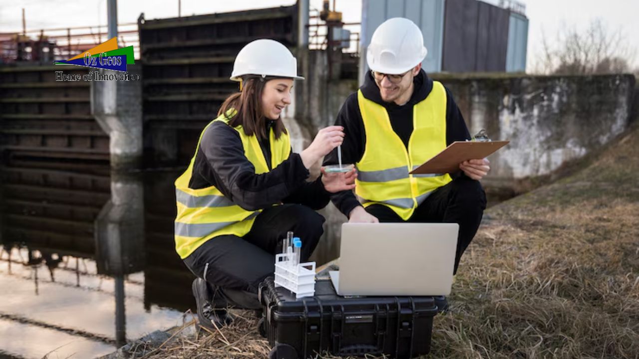
Geotechnical investigation mostly deal with collecting direct data on the characteristics of soil and rock through fieldwork and laboratory tests.
Geophysical surveys, on the contrary, utilise a number of geophysical techniques to evaluate physical characteristics indirectly.
Key Methods of Geotechnical Investigation:
1. Drilling and Boring: Core drilling and sampling of soil are common geotechnical study methods. This drilling process enables engineers to collect specimens at various levels, which are analyzed in laboratories to identify their characteristics.
2. In-Situ Testing: In the field, parameters of the soil that include strength, density, and load-bearing capacity are evaluated using a number of processes, including the Standard Penetration Test (SPT), the Cone Penetration Test (CPT), and vane shear testing.
3. Laboratory Testing: The samples’ primary characteristics are grain size distribution, moisture content, shear strength, and elasticity.
The collected data is utilized to develop a geotechnical report which includes recommendations for foundation planning, building procedures, and possible threats such as liquefaction and slope instability.
Key Methods Of Geophysical Survey:
1. Seismic Surveys: These surveys use shock waves to determine essential geological strata. Seismic refraction and reflection procedures provide important information about the characteristics of rocks and soils, as well as measuring bedrock depth.
2. Electromagnetic Surveys: These studies compare essential conductivity and impedance to differentiate between soil and rock forms. Ground-penetrating radar (GPR) is a widely utilized electromagnetic technology for determining shallow underground objects
3. Gravimetric and Magnetic Surveys: Gravimetric surveys measure variations in the Earth’s gravitational field, while magnetic surveys identify changes in the magnetism of underground materials, which could suggest the presence of different kinds of rocks or hidden structures.
Key Differences
1. Objective: Geotechnical investigations are performed to figure out the engineering characteristics of soil and rock, supplying critical data for structural design uses. Geophysical surveys, on the other hand, concentrate on discovering anomalies and describing subsurface improvements.
2. Methodology: Geotechnical investigations demand the direct acquisition and evaluation of samples, whereas geophysical surveys are non-invasive and use measure indirectly to evaluate underground conditions.
3. Application: Geotechnical study is essential to the entire construction and design process of planning. Geophysical surveys can be helpful instruments for preliminary assessments, environmental evaluations, and for the identification of underground utilities or voids across vast regions.
4. Accuracy and Scope: Geotechnical investigations provide precise information at particular locations, while geophysical surveys offer extensive coverage, but with less information at individual points.
Conclusion: Geotechnical studies and geophysical investigations are critical parts of underground exploration. Usually, a combination of both of these methods is used on various assignments. Geotechnical investigations provide precise, location-specific data that is essential to the development of engineering plans, whereas geophysical surveys provide a complete overview of the subsurface, helping in the identification of regions that need additional in-depth research. The right approach is selected determined by the project’s specific requirements, the nature of the data wanted, and the scope of the study.
For more details on geotechnical investigations and geophysical surveys, please visit OzGeos.

