Understanding Geotechnical Investigation: A Comprehensive Guide
Introduction to Geotechnical Investigation
Geotechnical investigation is a crucial process in construction projects that involves evaluating the soil and rock conditions of a site. This comprehensive guide aims to explore the significance, process, methods, and key considerations of geotechnical investigation.
What is Geotechnical Investigation?
Geotechnical investigation is the process of assessing the geological and engineering properties of soil, rocks, and groundwater at a construction site. It provides essential insights into the site’s stability, bearing capacity, and potential hazards.
Importance of Geotechnical Investigation
Geotechnical investigation is vital for ensuring the safety, durability, and cost-effectiveness of construction projects. Identifying potential risks such as foundation failure, slope instability, and soil contamination, helps mitigate hazards and ensures successful project outcomes.
Process of Geotechnical Investigation
- Site Assessment
Before conducting tests, a thorough site assessment is performed to identify geological hazards such as seismic activity, landslides, or soil contamination.
- Drilling and Sampling
Drilling is conducted to collect soil and rock samples from different depths. These samples undergo laboratory analysis to determine properties like grain size, moisture content, and strength.
- In-situ Testing
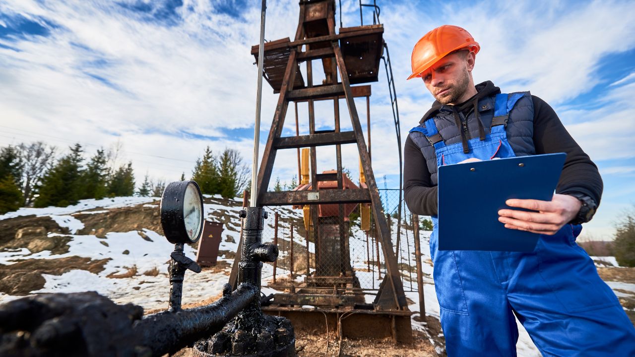
Various in-situ tests, including Standard Penetration Test (SPT) and Cone Penetration Test (CPT), are performed to assess soil properties directly at the site.
- Laboratory Testing
Laboratory tests, such as the Atterberg Limits and Triaxial Test, provide detailed insights into the engineering behavior of soil and rock samples.
Methods of Geotechnical Investigation
- Exploratory Drilling
Exploratory drilling involves drilling boreholes to collect samples for analysis. It helps determine the depth and composition of subsurface materials.
- Remote Sensing Techniques
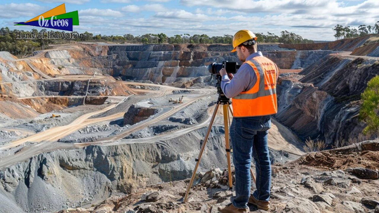
Remote sensing techniques like aerial photography and ground-penetrating radar are used to map surface features and identify geological hazards.
- Geophysical Surveys
Geophysical surveys, including seismic refraction and electrical resistivity surveys, characterize subsurface conditions and detect anomalies.
Key Considerations in Geotechnical Investigation
- Site Selection
Choosing the right locations for drilling and testing is crucial to obtaining representative soil samples and accurate data.
- Safety Precautions
Strict adherence to safety protocols during drilling and testing prevents accidents and ensures personnel safety.
- Environmental Impact
The geotechnical investigation must consider its environmental impact and comply with regulations governing soil and groundwater protection.
Conclusion
Geotechnical investigation is fundamental for construction projects, providing essential data for design, planning, and risk management. By understanding its process, methods, and key considerations, engineers and developers can ensure project success and sustainability.

