Landslides are geological phenomena that can have significant and often devastating impacts on infrastructure and human settlements. In geotechnical and structural engineering projects, conducting a comprehensive Landslide Risk Assessment is a crucial step to ensure the safety, stability, and resilience of structures and developments in landslide-prone areas. This assessment involves a systematic evaluation of various factors related to the landscape, geology, and engineering aspects to understand and mitigate the potential risks associated with landslides.
Key Components of Landslide Risk Assessment:
Geological and Geotechnical Investigations: This phase involves a thorough analysis of the geological and geotechnical characteristics of the area. Geologists and engineers study the soil types, rock formations, slope angles, groundwater levels, and the history of past landslides in the region. These findings help in identifying potential landslide triggers and susceptibility factors.
Topographic Mapping and Digital Elevation Models (DEMs): High-resolution topographic maps and DEMs are used to create detailed slope profiles and identify vulnerable areas. These tools help in assessing slope stability and the potential for soil erosion.
Rainfall and Weather Patterns: Meteorological data is analyzed to understand precipitation patterns, seasonal variations, and extreme weather events that might trigger landslides. This information helps in predicting when landslide risk is highest.
Land Use and Development Planning: Evaluating current and future land use and development plans is critical. This involves assessing the impact of urbanization, deforestation, and infrastructure development on slope stability.
Monitoring Systems: Deploying real-time monitoring systems, such as inclinometers, piezometers, and ground-based radar, helps in continuously assessing slope movement and groundwater conditions. Early warning systems can be integrated to trigger evacuation or protective measures when necessary.
Risk Modeling and Analysis: Engineers use advanced software and models to simulate landslide scenarios, predict potential runout areas, and estimate the magnitude of damage that could occur. This allows for informed decision-making regarding mitigation strategies.
Mitigation Measures: Based on the risk assessment findings, engineers and geologists develop mitigation strategies to reduce the impact of landslides. These measures may include stabilizing slopes with retaining walls, installing drainage systems, planting vegetation, or restricting development in high-risk areas.
Emergency Response Planning: Preparing emergency response plans and communication strategies is essential to protect human lives and minimize property damage in the event of a landslide.
Regulatory Compliance: Ensuring that all engineering and construction activities comply with local, regional, and national regulations related to landslide risk is critical. This may involve zoning restrictions, building codes, and environmental impact assessments.
Continual Monitoring and Adaptation: Landslide risk is dynamic and can change over time due to various factors, including climate change. Therefore, ongoing monitoring and adaptation of mitigation measures are essential to maintain long-term safety.
Our Projects
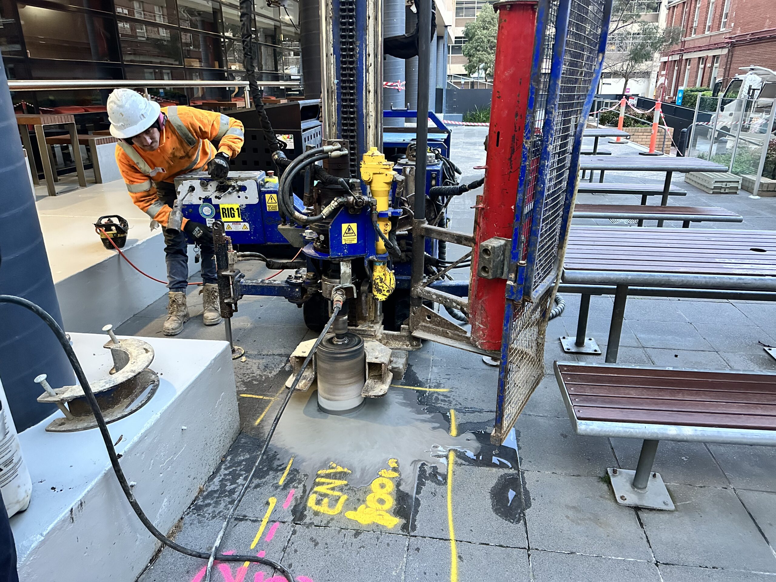 Concrete Coring
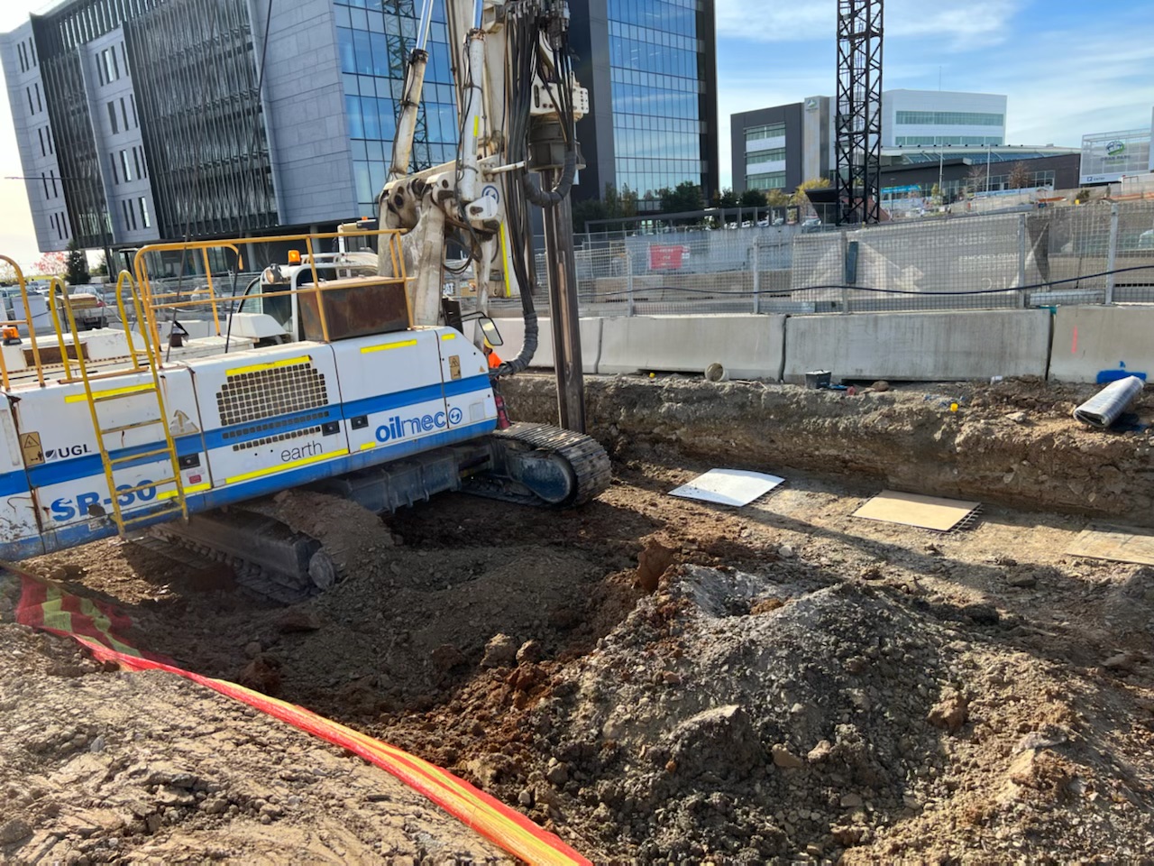
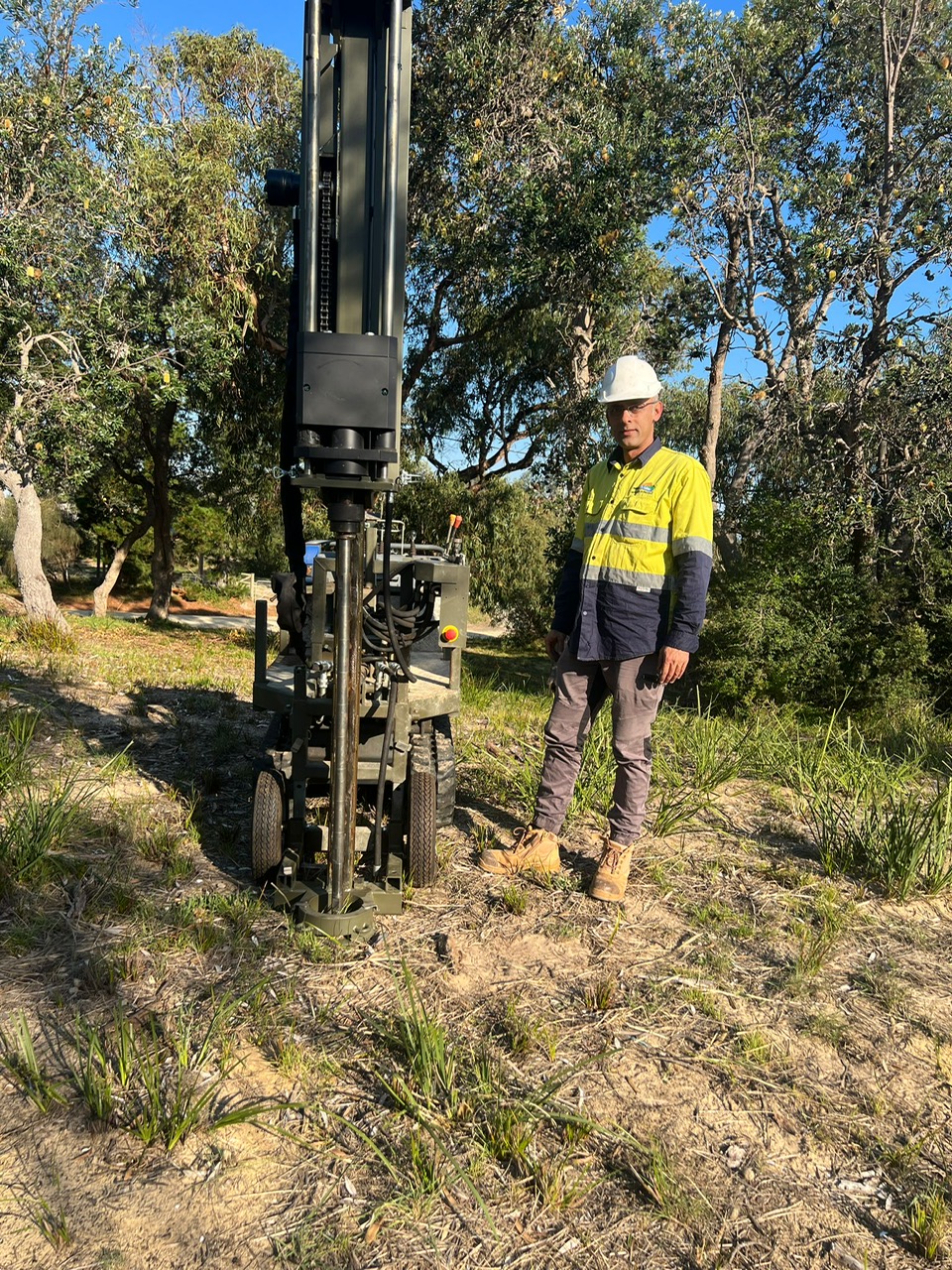 Dynamic Probing
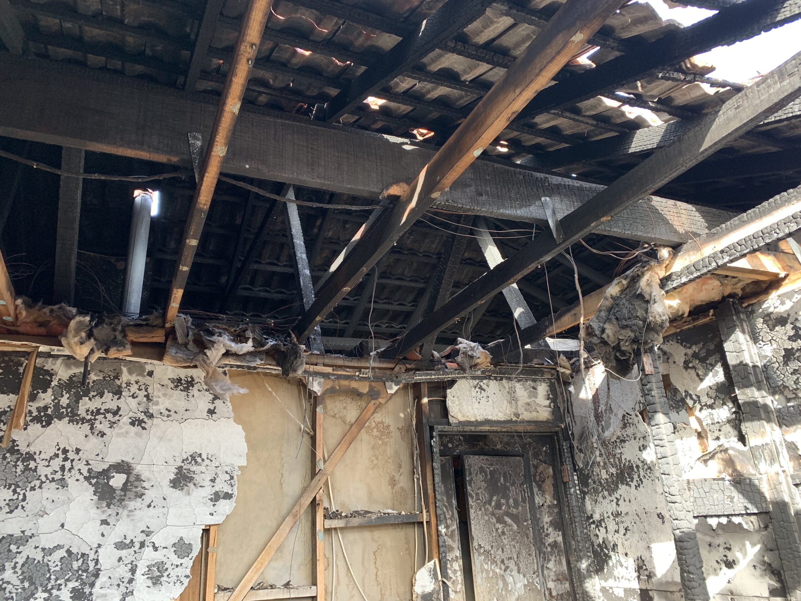 Forensic Inspection of Fire Impacted Structures
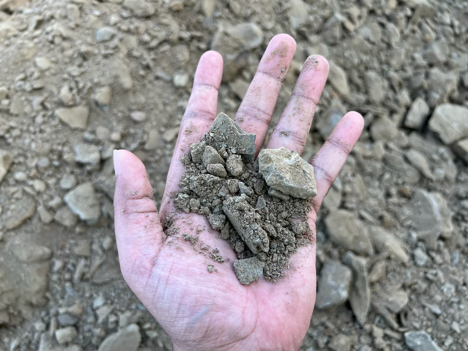 Geological Understanding
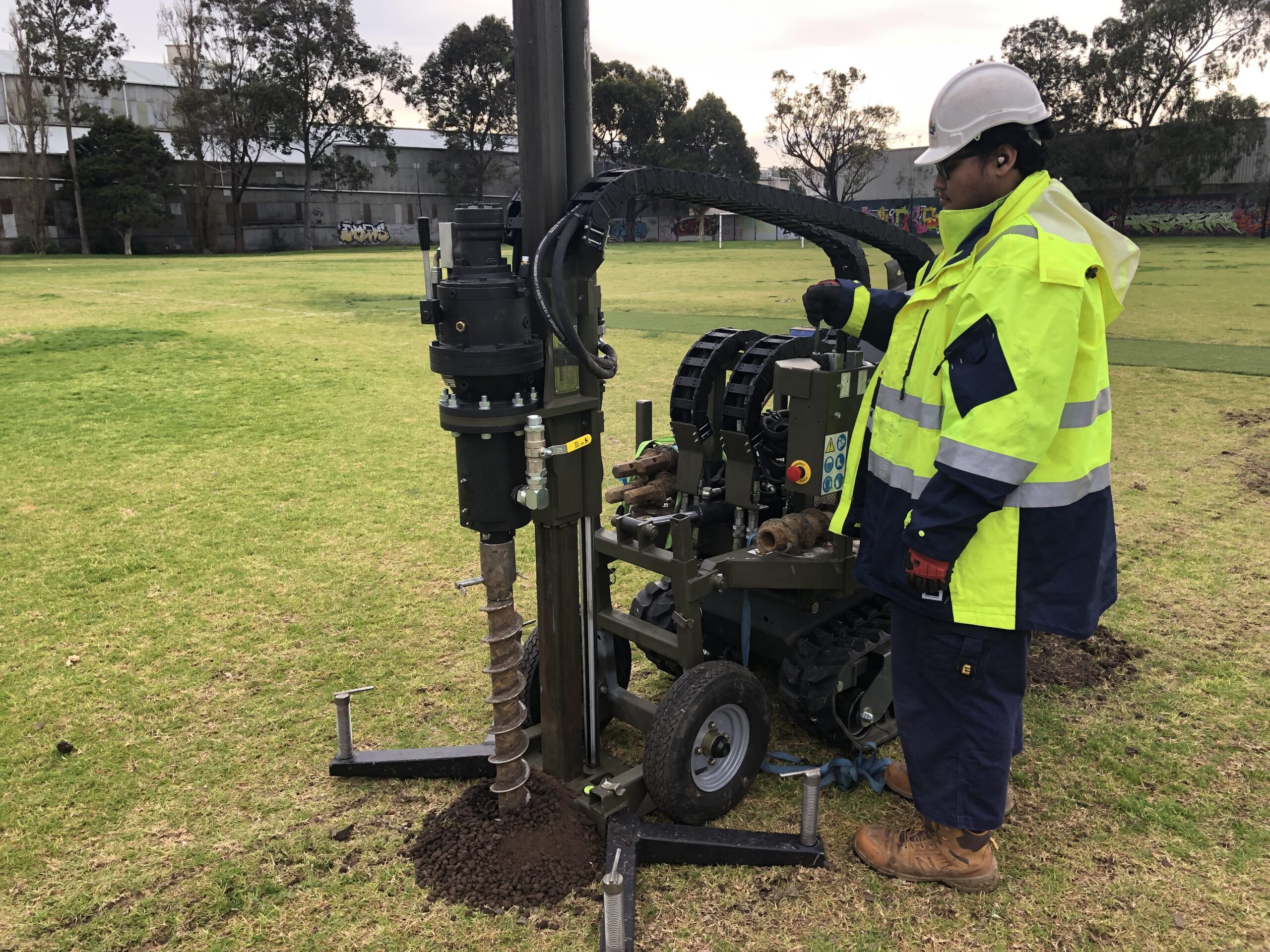 Geotechnical Investigation for Football Stadium
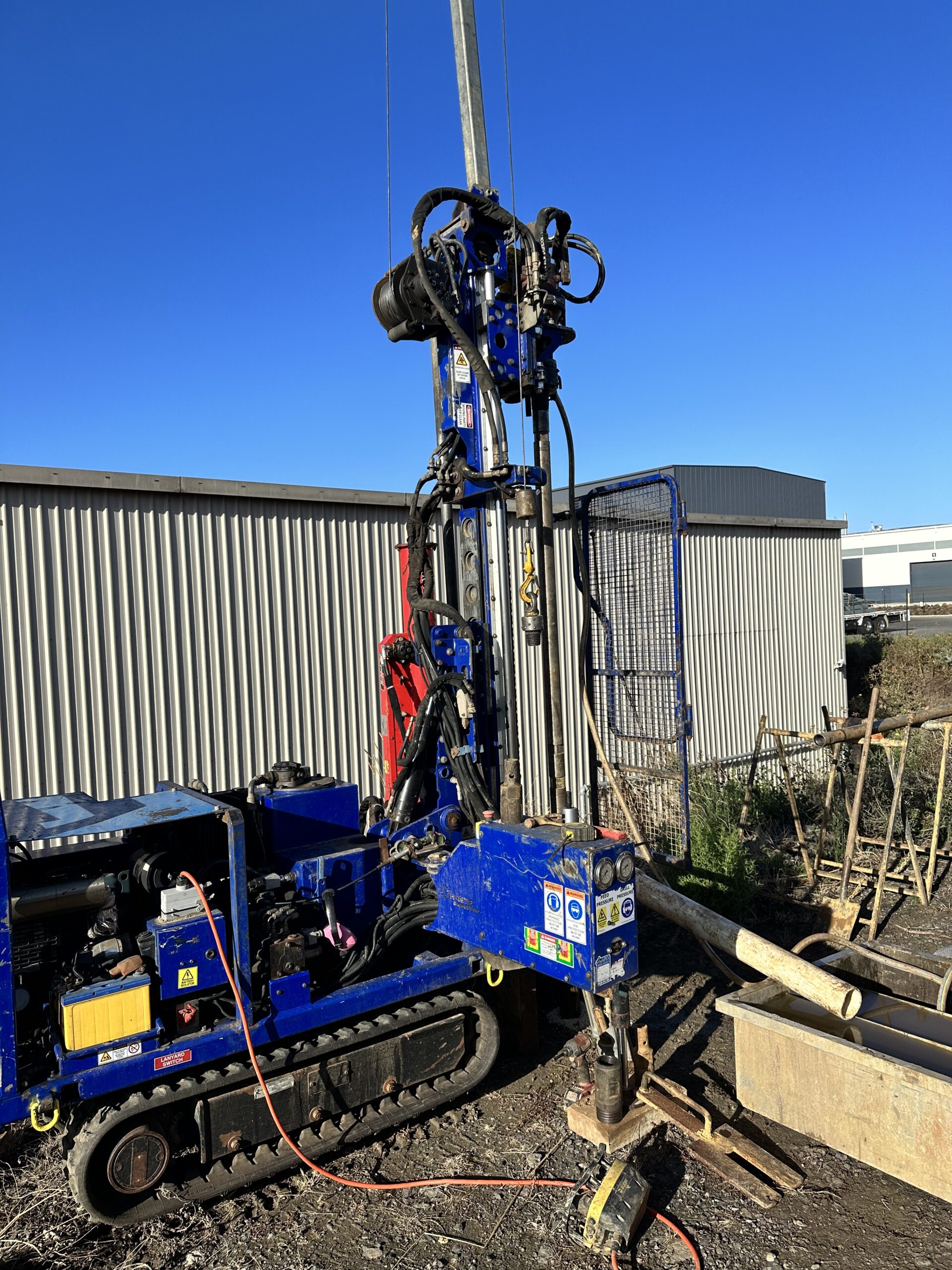 Geotechnical Investigation for Industrial Application
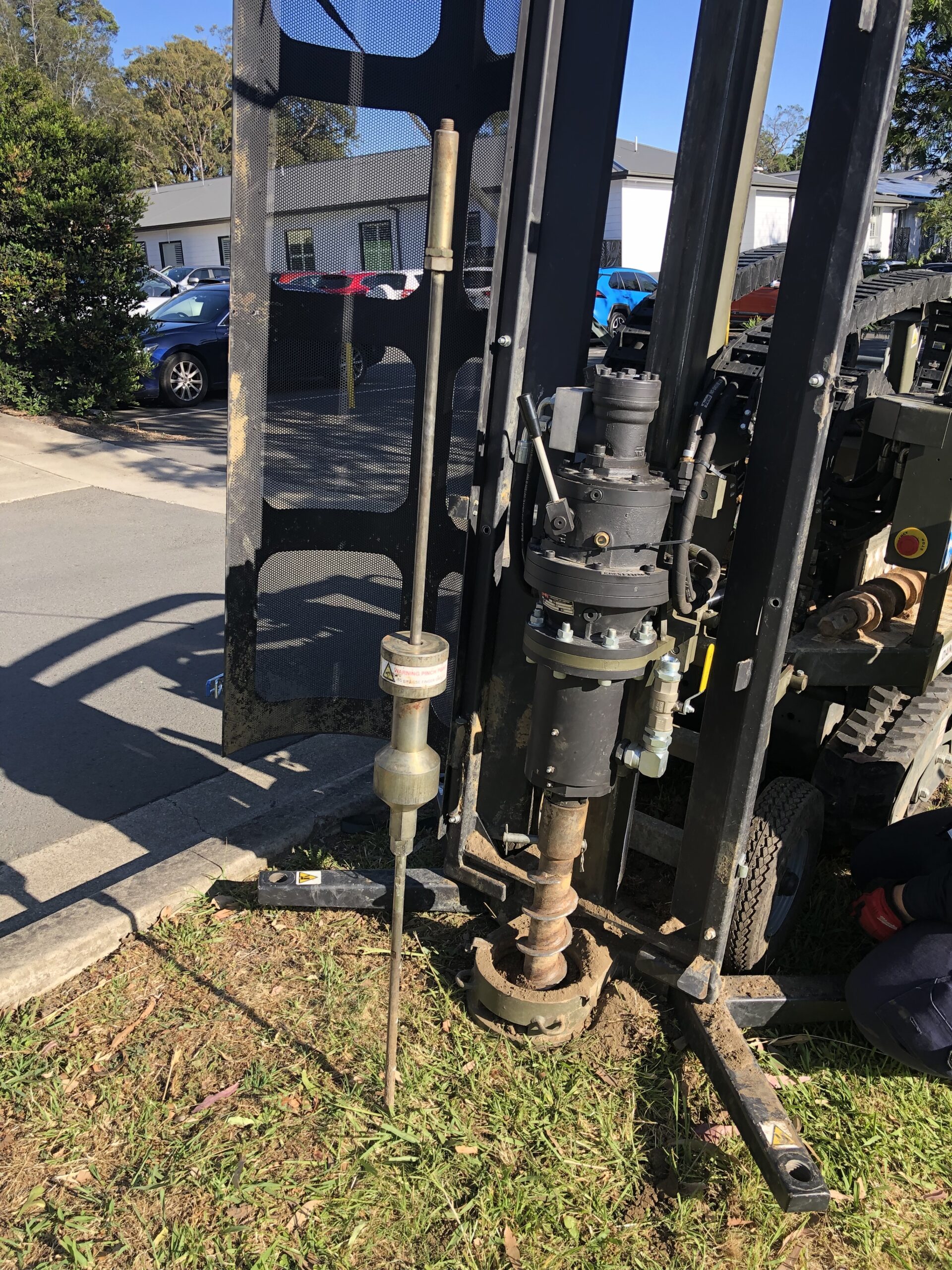 Geotechnical Investigation for Medical Facility
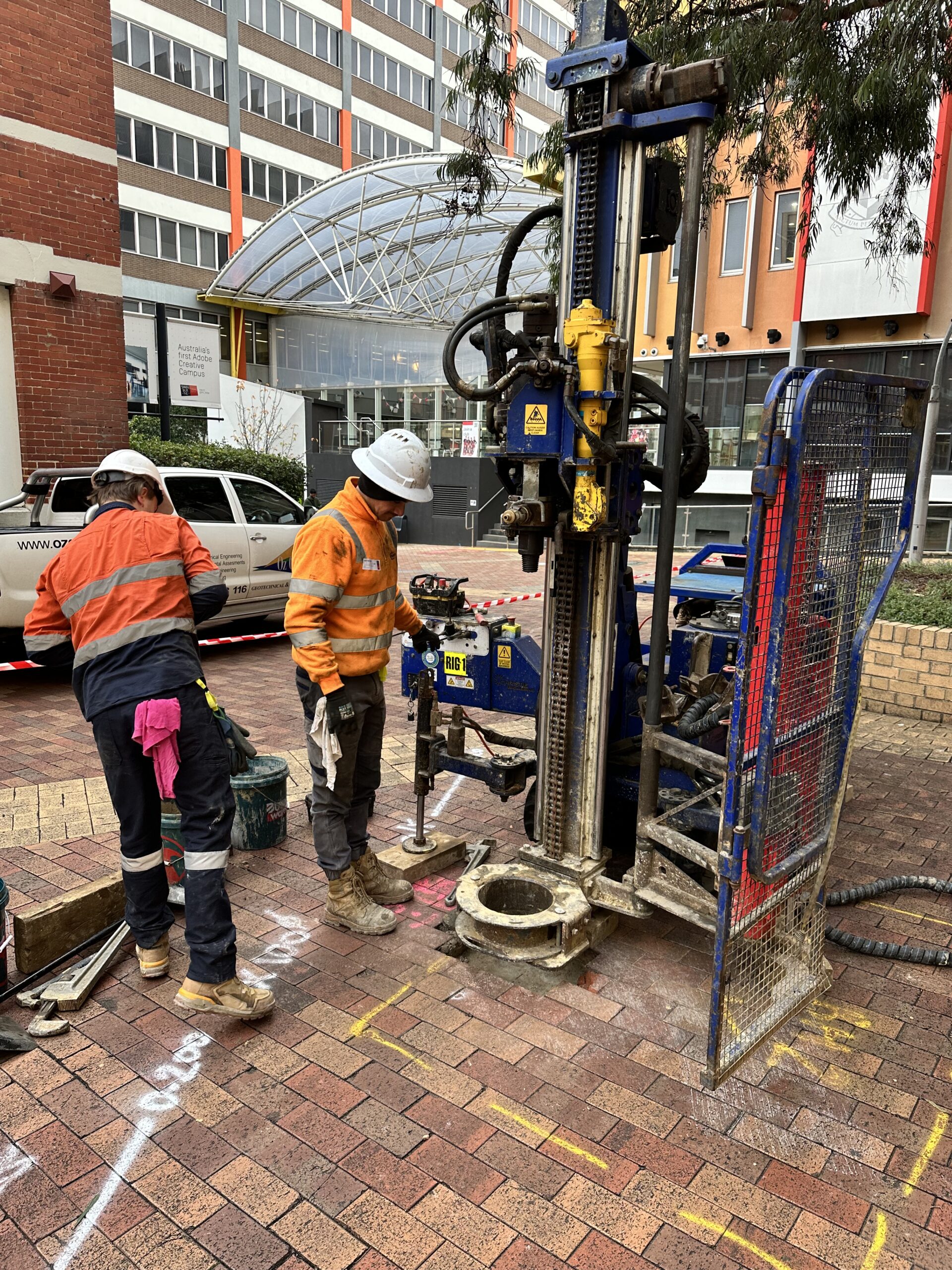 Geotechnical Investigation in Urban Set-Up
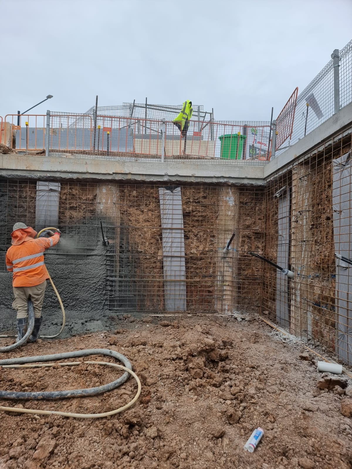 Inspection of Retaining Structure
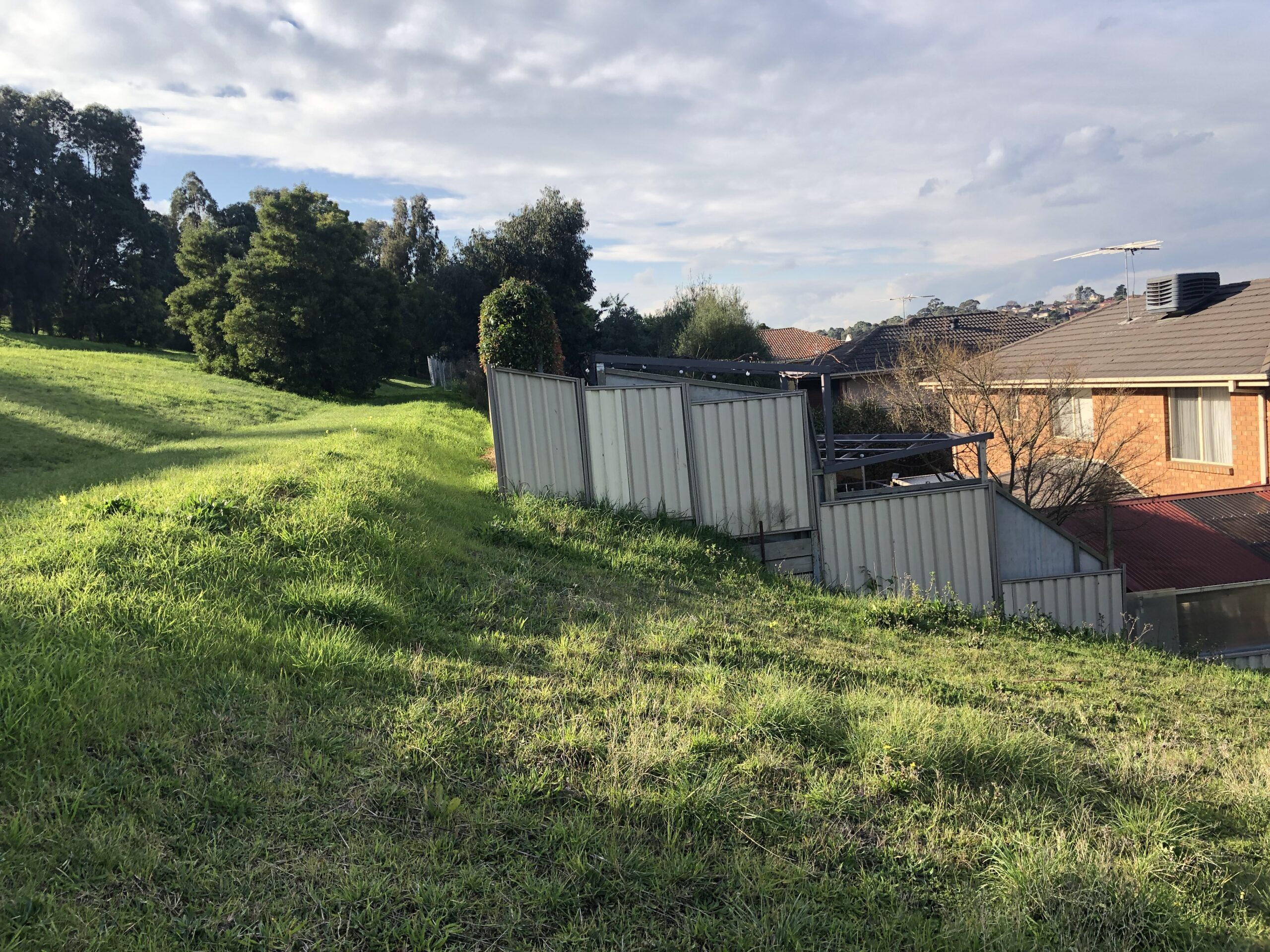
- Landslip Risk Assessment
 Piling Supervision
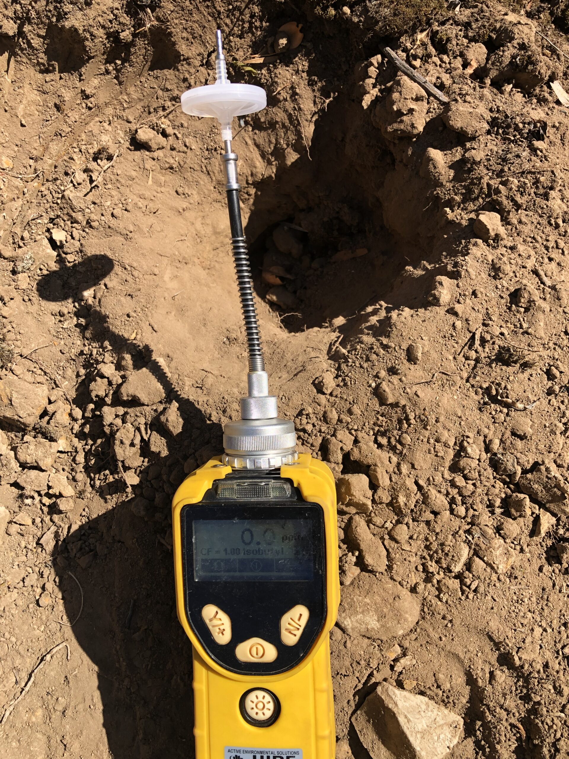 Soil Vapour Assessment
OUR VALUABLE CLIENTS