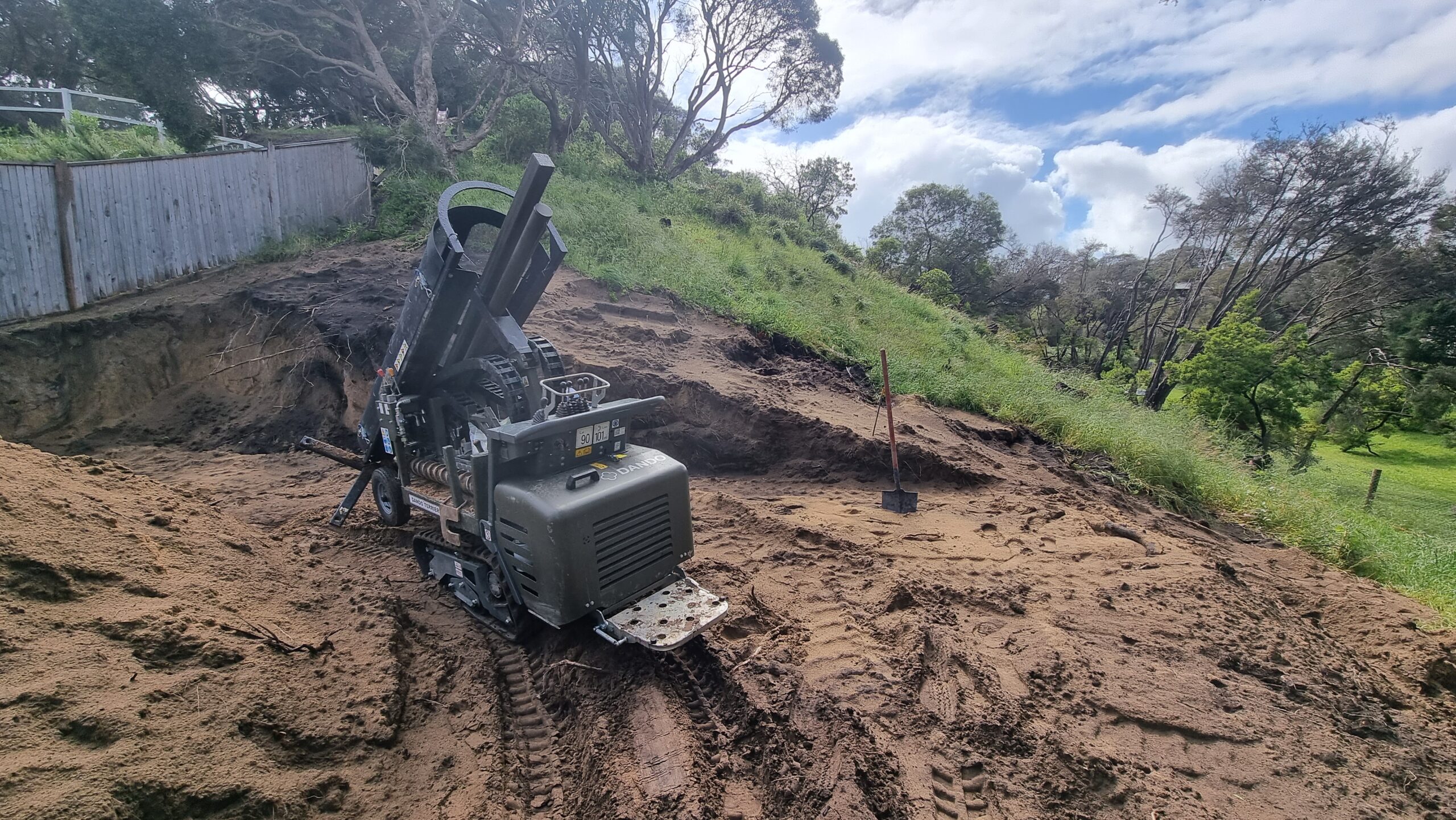
Landslip Risk Assessment is the quantitative and qualitative assessment of potential landslides within an erosion management overlay where previous landslips have been recorded. Landslides/Landslips is one of the major natural hazards, which account each year for enormous property damage in terms of both direct and indirect costs. Landslides, defined as the movement of a mass of rock, debris or earth down a slope, can be triggered by a variety of external stimulus, such as intense rainfall, earthquake shaking, water level change, storm waves or rapid stream erosion that cause a rapid increase in shear stress or decrease in shear strength of slope-forming materials. In addition, as development expands into unstable hillslope areas under the pressures of increasing population and urbanization, human activities such as deforestation or excavation of slopes for road cuts and building sites, etc., have become important triggers for landslide occurrence.
Oz Geos have worked in some of the most vulnerable hillside properties where the risk of landslip was deemed as LIKELY by the Council/Shore or Authorities. We have carried out extensive geological mapping, soil and rock sampling, geological and geotechnical modelling to understand the potential risk and provided remedial measures to our clients which were acceptable by the Authorities. We do not encourage the practise of neglecting the risks, but acknowledging the risk and finding engineering solutions to mitigate the risks suitable to reduce or minimise the risk to life and property be acceptable proportions.
Service Categories
 CIVIL ENGINEERING
 ENVIRONMENTAL ASSESSMENT
 GEOTECHNICAL ENGINEERING
 STRUCTURAL ENGINEERING
OUR VALUABLE CLIENTS